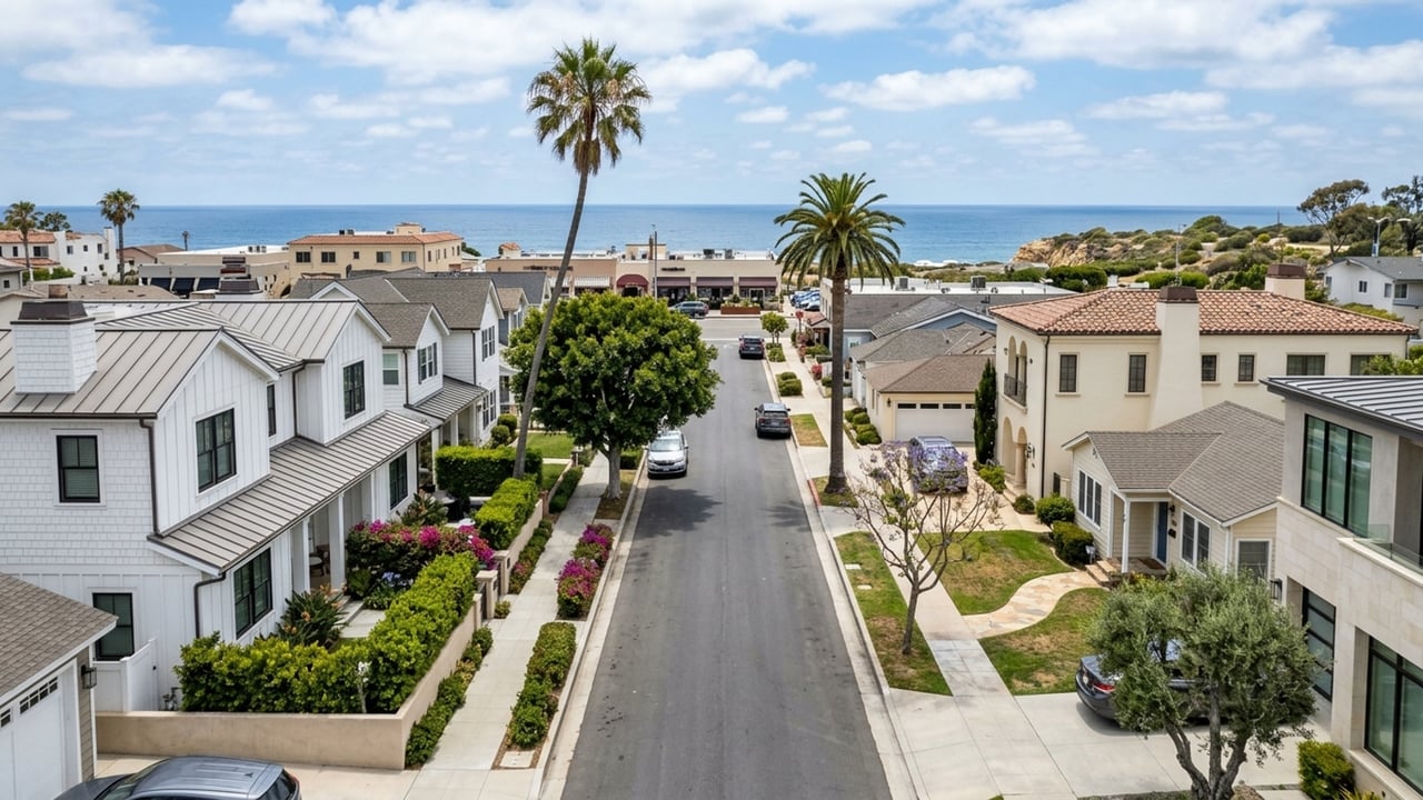
Corona del Mar sits along Coast Highway as a distinct community within the City of Newport Beach. Getting around here looks very different depending on which side of the highway you live on.
Some blocks offer a flat, easy walk to morning coffee and the sand. Others sit higher up on the hillside and require a car for nearly every trip. Which part of the community you're looking at matters more than the neighborhood's name on a map.
Key takeaway
If you want to walk to coffee, groceries, and the beach, start your search in the Flower Streets between Coast Highway and the ocean, where daily errands sit a few flat blocks away. If you prefer views or quiet, Spyglass Hill and Harbor View work well as long as you accept driving for most trips. Wherever you land, John Wayne Airport (SNA) is about 7 miles away, which is roughly a 15-20 minute drive.
Who this guide is for
You're weighing where in Corona del Mar to buy or stay, and you want to know how much of daily life you can handle on foot or by bike versus by car.
How getting around Corona del Mar works
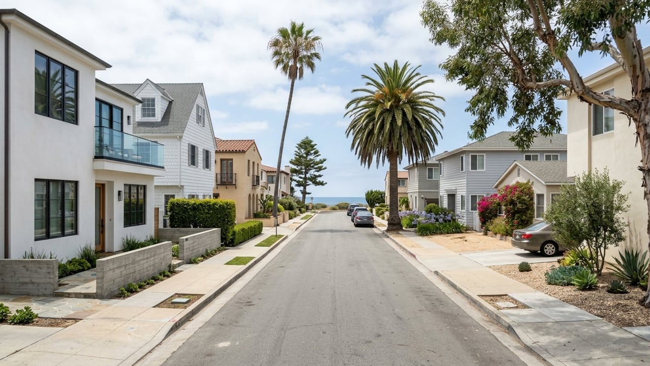
Mobility here depends on where you live relative to Coast Highway and the hill, not on the community as a whole. Coast Highway acts as the main spine, lined with the primary village shops and restaurants. The flat blocks run south toward the ocean; the hillside areas rise inland to the north.
The village core at 2801 East Coast Highway has a Walk Score of 95, a Transit Score of 23, and a Bike Score of 65. This specific location scores high enough that daily errands don't require a car. That said, the average hides a significant swing between a flat village block and a steep hillside cul-de-sac. The pros and cons of living in Corona del Mar provide more context on these differences.
Walkable parts of Corona del Mar
A few specific sections of the community let you leave the car in the garage for most of the week. These areas sit close to the village core and the water, keeping the terrain manageable on foot.
Flower Streets
This flat street grid runs from Coast Highway directly toward the ocean. Village coffee shops, restaurants, and boutiques are a short walk away, and the beach is easily reachable on foot.
If walking to errands matters most to you, start your search here. Lots are small, though, and on-street parking is tight, especially in summer when beachgoers circle these same blocks. Check the types of homes in Corona del Mar to see whether a property has alley garage access and how many off-street spaces it includes.
Ocean Boulevard and China Cove
These bluff streets put Big Corona, Little Corona, and the coastal viewpoints right outside your door. You can walk to the village, but the trip back up from the sand is the real test of this location's walkability. The Goldenrod Footbridge connects pedestrians across a local ravine without using the road.
What you give up is curb space. You're living exactly where visitors want to park. Summer weekends bring heavy beach traffic and full curbs to your street, and the stairs and slopes back from the beach are steep. Walk the route on a July Saturday before deciding whether the incline works for you.
Parts of Corona del Mar where you'll drive more
Moving away from the village core brings larger lots, higher vantage points, and gated entries. These areas trade walkability for other features, and you'll need a car for your daily routine.
Spyglass Hill and Harbor View
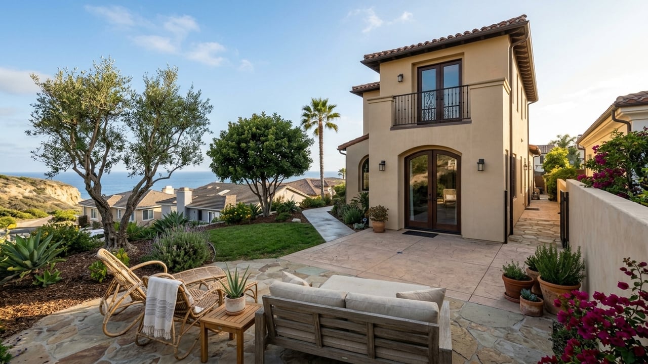
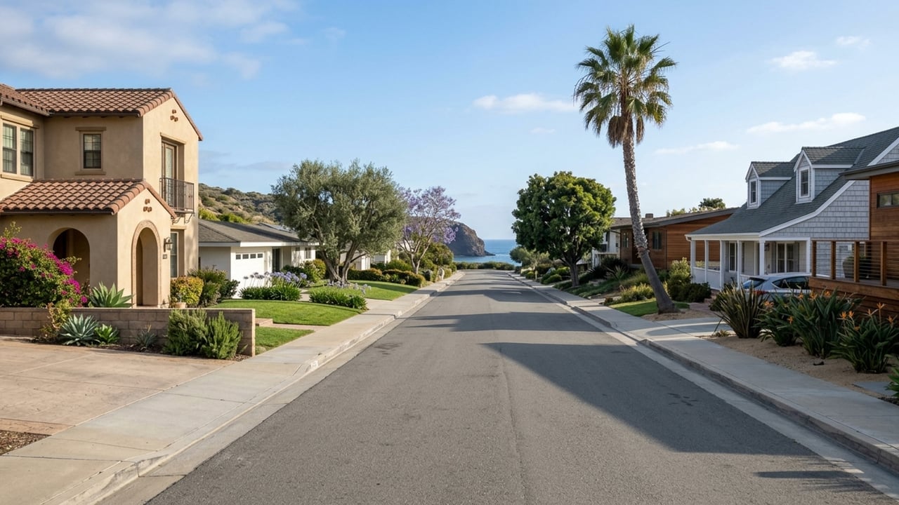
These hillside areas sit inland and uphill from Coast Highway. The curving streets are quieter, and the views of the coastline are broad. If a view and a quieter street matter more than walking to coffee, start here.
The catch is pedestrian convenience. Nearly every errand, beach trip, and dinner in the village means getting in the car, and the uphill grade makes biking home a serious workout. Drive the route to the village and to MacArthur Boulevard at the morning peak before committing.
Cameo Shores and Shore Cliffs
These neighborhoods sit at the east end of the community, toward Crystal Cove. They offer secured entries and immediate coastal proximity away from the busy village center.
You're also at the far end from the village shops, so errands usually mean a drive along Coast Highway. Gate and guest rules shape how easily visitors, deliveries, and rideshares reach you. Ask the HOA for current guest-access and parking rules before you're under contract.
Irvine Terrace
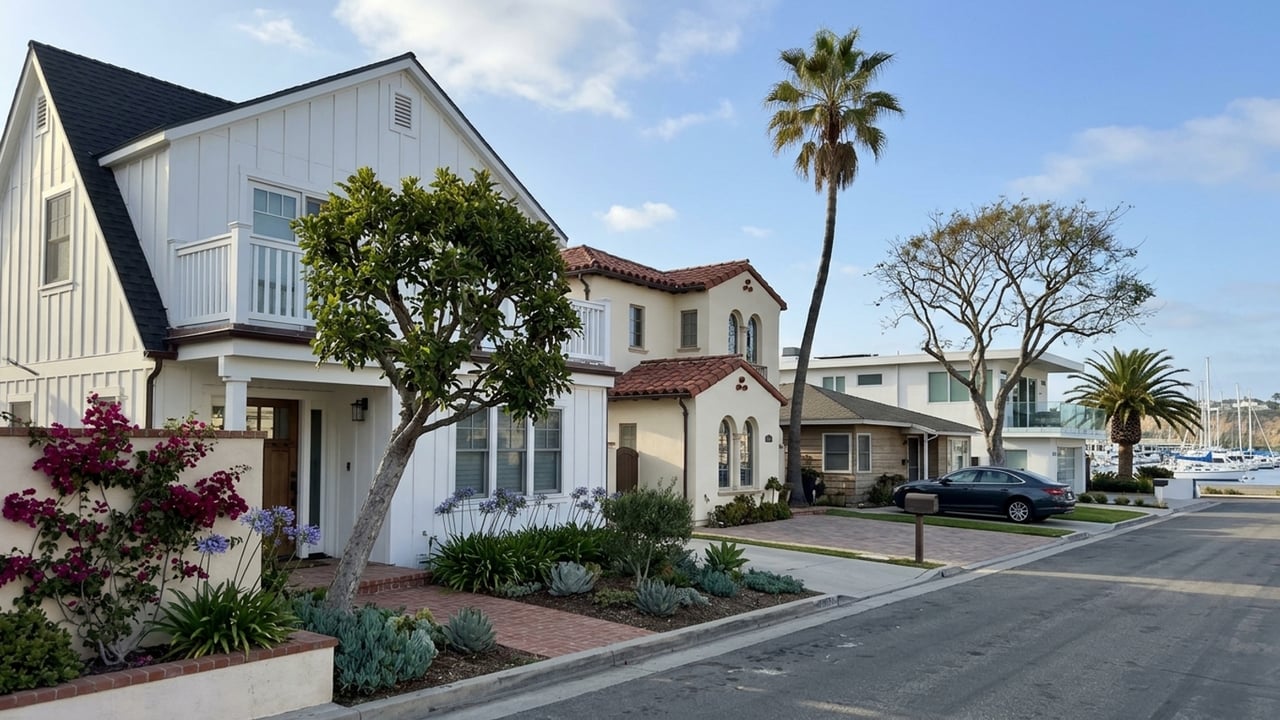
Located at the west edge near the harbor and Jamboree Road, this neighborhood was originally developed on land owned by the Irvine Company. Its position makes it the most practical base for reaching the inland freeways and the airport. If you commute inland or fly often, start your search here.
Reaching the village or the beaches on foot means a longer walk and crossing busy roads. Most trips to the core end up in the car regardless, because of the distance and traffic patterns.
Buses, bikes, and rideshare in Corona del Mar
The Orange County Transportation Authority (OCTA) runs Route 1 along Coast Highway, connecting Long Beach to San Clemente. Weekday buses on this corridor depart at roughly 15 to 25-minute intervals during the midday and early afternoon, with longer waits in the evening. A single one-way fare is $2.00 for regular riders under the current Wave fare system. It's a usable link to Newport Beach and the coast, though it rarely replaces a car for daily errands.
Biking along Coast Highway means pedaling in fast, busy traffic. The flat village grid is where cycling for errands works. Ride your route on Coast Highway and the side streets before counting on it for a regular commute. Rideshare fills in well for dinners out and airport runs when you'd rather skip the parking altogether.
For older residents, the Newport Beach senior center provides curb-to-curb shared transportation for Newport Beach residents age 60 and over who no longer drive. The service runs Monday through Friday for medical appointments, shopping, and errands, costing $1.50 each way to the center or $3 each way elsewhere.
Parking and summer beach traffic
Coast Highway features metered parking that's mostly enforced from 8:00 a.m. to 6:00 p.m. daily, including weekends and holidays. A quick errand by car means paying these hourly rates, which apply city-wide across Newport Beach.
Summer weekends push heavy beach traffic onto the bluff and the Flower Streets as visitors hunt for free spots. Read posted street signs for street-sweeping days, time limits, and any permit rules on any block you're considering.
Getting to the airport and the freeways
John Wayne Airport (SNA) is the nearest airport, easily reached via MacArthur Boulevard or Jamboree Road. The SR-73 toll road and Interstate 405 sit just inland, connecting the coast to the rest of Southern California. Homes on the west end shave noticeable time off airport and freeway trips.
A weekday morning drive from a Spyglass Hill street to the airport will take slightly longer than leaving from Irvine Terrace. Drive your commute or airport run at the weekday morning peak from the specific address you're considering.
How to narrow your search
Do you want to walk to coffee, groceries, and the beach most days? Read the best neighborhoods in Corona del Mar profiles for the Flower Streets and Ocean Boulevard to see how the flat grid works.
Is a quieter street or a view worth driving for nearly every errand? The Spyglass Hill and Cameo Shores sections offer those benefits in exchange for car dependence.
Will you commute inland or fly often? Read the Irvine Terrace profile for the best access to the airport and freeways.
How much would summer beach parking on your block bother you? Review the parking and beach traffic details before shortlisting the bluff streets.
At a glance
- No current market data is available for the Corona del Mar region.
Getting around Corona del Mar FAQs
Is parking free in Corona del Mar?
Yes, many residential streets have free curb parking, but they come with posted time limits and street-sweeping rules. Coast Highway village parking is metered, with most paid parking enforced 8:00 a.m. to 6:00 p.m. daily. Read the signs carefully before leaving your car on any neighborhood street.
How much does it cost to park at Corona del Mar State Beach?
The main lot at Jasmine Street and Ocean Boulevard charges seasonal hourly rates ranging from $3.50 to $9.40 depending on the time of year and day. Daily maximums reach up to $35.40, or $47.15 on major holidays. Disabled placard holders receive no discount at this specific 545-space lot.
How do you get to Little Corona del Mar Beach?
You can access this small sandy area and its tide pools by taking a footpath from the end of Poppy Avenue off Ocean Boulevard. Parking is free but sometimes hard to find along the surrounding residential streets. Confirm the current tide-pool rules before visiting.
Is Corona del Mar a separate city from Newport Beach?
No, Corona del Mar is a community within the City of Newport Beach. It was annexed into the city in 1917. Newport Beach handles local city services, including the operation of the Corona del Mar State Beach parking lot.
What is the cheapest way to get around Corona del Mar?
Walking and biking in the flat village area cost nothing. For motorized trips, the OCTA bus is the cheapest option, with a daily fare cap of $4.50 for regular riders under the current Wave fare system.
Is there a trolley or beach shuttle in Corona del Mar?
The City of Newport Beach operates a free Balboa Peninsula Trolley on summer weekends from late May through early September, plus major holidays. Its 22-stop route begins in Mariners' Mile and serves the peninsula, so it doesn't reach Corona del Mar. For public transit along Coast Highway, use the OCTA Route 1 bus.
How far is Corona del Mar from LAX?
The drive to Los Angeles International Airport (LAX) is about 45 miles. This trip can take 50 minutes during off-peak hours and up to 100 minutes during rush hour. John Wayne Airport is much closer for domestic flights.
What county is Corona del Mar, CA in?
Corona del Mar is located in Orange County, using the 92625 ZIP code. It sits between Newport Harbor and Crystal Cove along Coast Highway, and operates as part of the City of Newport Beach.
Sources
- Walk Score: 2801 East Coast Hwy
- OCTA: Route 1 Schedule
- OCTA: Fare Information
- City of Newport Beach: Parking Lots and Metered Parking
- California's Best Beaches: Little Corona Del Mar Beach
- Travelmath: Nearest Airport to Corona del Mar
- City of Newport Beach: Balboa Peninsula Trolley
- City of Newport Beach: OASIS Senior Center Transportation
- Corona del Mar Historical Society: History
- Irvine Historical Society: Urban Development