In 1904, a Los Angeles real estate salesman named George E. Hart purchased 706 acres of coastal land from The Irvine Company for $125 an acre. He filed the first subdivision on September 4 of that year, and that's where the community's official story starts. Today, this Orange County area is defined by the different eras of building that followed that initial purchase.
The history of Corona del Mar, CA shows up in how its streets are laid out, what you can build on a lot, and who sets the neighborhood rules. Each era of development, from the original 1904 grid to the post-1950 planned tracts, determines where to look for a home and what to expect when you buy one.
Key takeaway
Corona del Mar began as a privately planned town site in 1904 when George E. Hart purchased 706 acres from The Irvine Company for $125 per acre, and it later became part of Newport Beach. Because it was annexed by Newport Beach, the area has no city hall of its own. If you want the original village feel, start in the Flower Streets near Coast Highway, where the first street grid was laid out. If you'd rather live under one association's rules in a later planned tract, look at Shore Cliffs or Cameo Shores instead.
Who this guide is for
You're considering a move to Corona del Mar and want to understand how its original grid and later planned tracts came about before you narrow down where to look.
How Corona del Mar's history shapes it today
Corona del Mar wasn't built all at once. It started as an early-1900s town-site grid that includes the Flower Streets and the Coast Highway village. Separately planned tracts such as Shore Cliffs, Cameo Shores, and Harbor View Hills were added later in the 1950s and beyond.
That sequence explains why one block is a mix of original cottages and rebuilds on a street grid, while another runs under its own association rules. The original grid neighborhoods follow lot-by-lot rules through Newport Beach, while the later tracts each run under a single homeowners association.
How Corona del Mar began
George E. Hart named his development Corona del Mar and started selling lots on the coastal bluffs. For the first two decades, the area remained relatively isolated from the rest of the county.
That changed when infrastructure and local government expanded to reach the growing town. The community shifted from a remote coastal outpost to an accessible residential neighborhood.
The early town site and the Hotel Del Mar
Hart built the Hotel Del Mar in 1907 at the corner of present-day Carnation and Seaview to attract visitors and land buyers. The hotel later became known as the Palisades Tavern and then the Balboa Palisades Club, though a city historic sites survey notes it was eventually demolished in 1991.
Access improved dramatically with the construction of the Coast Highway in 1926. The new road ran from Seal Beach to Laguna Beach, and that ended the community's early isolation.
Very little of the first town survives today. Most original buildings have been replaced, so historic Corona del Mar is mostly the street layout and names rather than the buildings themselves.
Becoming part of Newport Beach
Corona del Mar was annexed by the City of Newport Beach, giving residents access to reliable city services instead of relying on private development resources.
Because of that annexation, Corona del Mar has its own name, ZIP code, and beaches, but no city hall. It operates as a Newport Beach neighborhood, meaning remodel and rebuild approvals go through Newport Beach's planning process. Much of the area also sits in the California coastal zone, so ask the city's Community Development Department whether your specific address needs a coastal development permit for exterior work before you budget a remodel.
The original town: Flower Streets, the village and Corona Highlands
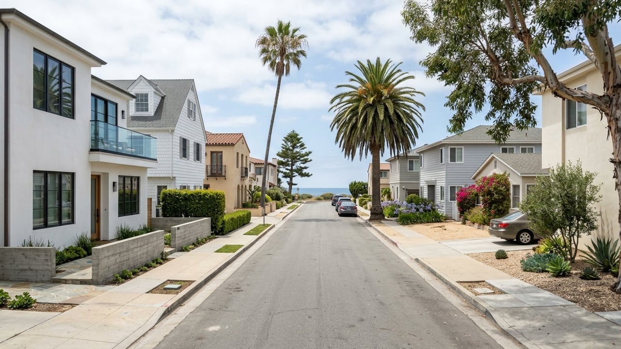
The earliest sections of Corona del Mar sit close to the ocean and the main commercial strip. These neighborhoods are the core of the original town site, laid out early enough that they feature traditional street grids and individual lot development rather than uniform tract housing.
The Flower Streets
The north-south streets in this original grid were named after flowers. This grid sits between the highway and the ocean bluffs.
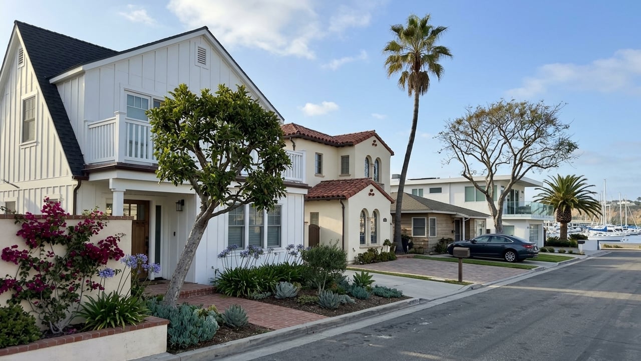
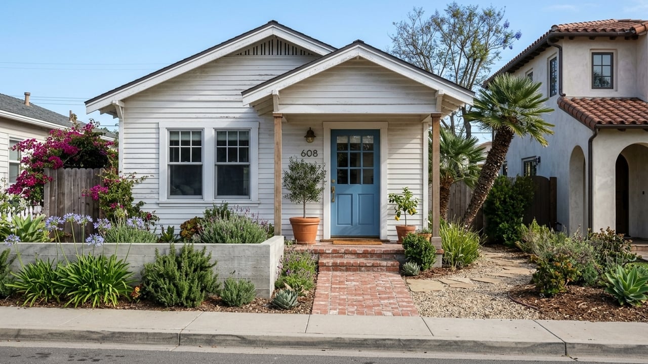
Today it's a mix of original cottages and newer rebuilds sitting on the same lots. You can walk to Coast Highway shops and restaurants from most of these blocks. You can learn more about home styles on the types of homes page and compare current prices on the housing market page.
One thing to know: because many original homes on these lots are being replaced, construction on narrow streets is common. Ask the City of Newport Beach for open permits on neighboring lots, and check lot dimensions on the county parcel map before assuming you have room to expand.
Corona Highlands
Corona Highlands is the inland, uphill extension of the original town, sitting across Coast Highway from the main village grid. The neighborhood's own association site leads with the "Crown of the Sea" story, which tells you something about how much the town's original name still matters locally.
These are hillside lots, though, and that matters for buyers. Before relying on any plan to remodel or add on, ask for geotechnical or soils reports in the seller's disclosures and confirm the lot's buildable area with the city.
The Coast Highway village
The commercial strip grew along Coast Highway once the road opened in 1926. This stretch provides the shops and restaurants that make the adjacent grid walkable. It's also the setting for the annual Corona del Mar Christmas Walk, an event that has run for more than four decades. Visit Newport Beach lists the most recent event as the 47th annual.
Coast Highway is a state highway carrying through traffic. Homes closest to it trade walkability for traffic noise, so visit a block at rush hour before you decide.
Planned tracts built after the original town
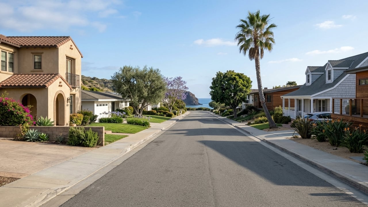
Development expanded beyond the original village in the 1950s and 1960s. Builders added new residential tracts on the bluffs and hillsides, and unlike the original town grid, these areas were planned as single communities. They often feature more uniform lots and their own homeowners associations.
Shore Cliffs
Shore Cliffs was developed beginning in 1952 as part of the town's mid-century expansion. It sits on the oceanfront bluffs next to the original town and was planned as one community, meaning exterior standards run through association rules rather than lot-by-lot variety.
That also means CC&Rs can govern exterior changes. Request the CC&Rs and current dues from the HOA before you write an offer around a remodel plan.
Cameo Shores
Cameo Shores was added to Corona del Mar's development in 1959, occupying a position on the bluffs toward the Newport Coast end of town. Like Shore Cliffs, it was built as a planned tract with its own community guidelines.
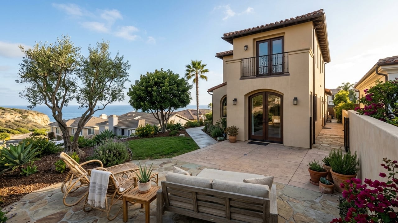
Bluff-top lots here face both association rules and coastal-zone limits on building near the bluff edge. Ask the city about bluff setbacks for a specific lot, and read the CC&Rs for architectural review rules before you get too attached to a plan.
Harbor View Hills
Harbor View Hills was planned on the hills inland of Coast Highway and operates as a unit with its own association governing the tract. The elevation puts you in a hillside setting that's still close to the village.
Hillside tracts often carry view-related or architectural rules, so ask the association for any rules on additions, rooflines, and landscaping before assuming you can build up.
Historic landmarks in Corona del Mar
A few specific sites have shaped the community's identity over the last century. The sections below cover how the beaches took their current shape and where to find local history archives.
Big Corona and Little Corona beaches
The wide main beach was shaped by harbor-entrance jetty construction, not by nature alone. A major jetty-building and dredging project completed in 1936 extended the West and East jetties, which eliminated the popular surf break that had made the area a noted surfing spot in the 1920s.
Further south, the tide pools at Little Corona are designated Marine Protected Areas by the state. The City of Newport Beach notes this protected status on its natural resources page.
The beaches draw visitors from across the region, so streets near beach access fill up on summer weekends. Visit a nearby block on a summer Saturday before you buy. Collecting in the Little Corona tide pools is restricted.
Sherman Library & Gardens
Sherman Library & Gardens sits on Coast Highway and is a public botanical garden. It also operates as a research library and archive of regional history, making it the place to go if you want early photographs or detailed records of the area's development.
It's a garden and research library rather than a walk-in history museum, so check the Sherman's site for admission and archive access hours before planning a research visit.
How to research a Corona del Mar home's history
Start with the year built and parcel details through the Orange County Assessor. Then request permit history from the City of Newport Beach, since past permits show what has been changed over the decades.
Early photos in the Sherman Library and Calisphere collections can show you what a lot originally looked like. The title report and any recorded CC&Rs matter too, since a listing may limit alterations. Finally, ask the city whether the address appears on its historical resources inventory. The city presented an inventory of 61 properties to the City Council on June 8, 1992, and while it was never officially adopted as a formal register, it remains a guide to potentially historic properties.
How to use Corona del Mar's history to narrow your search
Your search comes down to which era of the town fits your lifestyle. These questions can help you focus:
- Do you want to walk to Coast Highway shops from a street-grid block? Read "The original town: Flower Streets, the village and Corona Highlands".
- Would you rather buy into a tract planned as a single community with its own association and CC&Rs? Read "Planned tracts built after the original town".
- Is being on or near a bluff or beach the priority, and are you prepared for coastal permit rules if you remodel? Read "Historic landmarks in Corona del Mar" and the coastal note in "Becoming part of Newport Beach".
- Does the history of a specific house matter to you? Read "How to research a Corona del Mar home's history".
If you want a street-grid block where you can walk to shops, start with the Flower Streets. If you want a tract planned as one community with an association setting the rules, start with Shore Cliffs or Cameo Shores. If you want a hillside setting inland of Coast Highway, look at Corona Highlands or Harbor View Hills.
You can also read about day-to-day trade-offs on the pros and cons page.
At a glance
- Omit the at-a-glance list on this page. MARKET DATA returned no Corona del Mar region, so there are no feed figures (with property type and window) to list. Dated history facts each live once, in their body section, behind a research marker. For prices and sales activity, link to the client's housing-market page (see shared_topic_links).
Corona del Mar history FAQs
Is Corona the same as Corona del Mar?
No. Corona is a separate city in Riverside County. Corona del Mar is a coastal neighborhood of Newport Beach in Orange County.
What county is Corona del Mar, CA in?
Corona del Mar is in Orange County, because it's part of the City of Newport Beach. County services such as the Assessor and Recorder are Orange County's, which is where property records live.
What does Corona del Mar mean in English?
The name translates to "Crown of the Sea" in Spanish. Developer George E. Hart chose that name when he established the development, and the Corona Highlands association site also cites this meaning.
What is Corona del Mar known for?
The area is known for its beaches, tide pools, the Coast Highway village, and Sherman Library & Gardens. The community is also recognized for its Christmas Walk held each December.
Where is Corona del Mar High School, and when did it open?
Corona del Mar High School is located at 2101 Eastbluff Dr., Newport Beach, CA 92660-4530. It opened on July 1, 1980, and attendance is set by the Newport-Mesa Unified School District. You should confirm assignment for any address with the district's lookup.
What ZIP code is Corona del Mar, CA?
The ZIP code is 92625. Confirm a specific address with the USPS ZIP lookup, since mailing ZIP and city limits don't always match at the edges.
Sources
- The Sherman: When Nobody Bought 100 Lots in Corona del Mar
- Corona del Mar Historical Society: History
- City of Newport Beach: Historic Sites Survey
- Corona del Mar Residents Association: The Story of Corona del Mar
- Visit Newport Beach: 12 Decades of Newport Beach
- City of Newport Beach: Marine Protection Tidepools
- California Department of Education: Corona del Mar High School
- Code Publishing: Newport Beach Municipal Code Chapter 21.52
- City of Newport Beach: Historical Resources Inventory